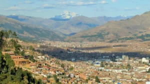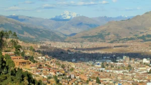
A sacred valley map shows a long green corridor north of Cusco, with towns strung along a river. This guide turns that map into clear distances, drive times, and a simple route plan.
Therefore, you can see which stops fit together and how long each leg takes.
Finally, you will learn how a private driver links the whole valley without changing vans.
Sacred Valley Map: How the Valley Is Laid Out

According to Wikipedia, the valley stretches roughly 100 kilometers from Pisac to Machu Picchu. Inca Rail describes the main section as running from Pisac to Ollantaytambo.
Pisac sits at the northeast end, while Ollantaytambo marks the northwest end. Meanwhile, Calca and Urubamba lie in between, along the valley floor.
Our map is a simplified sketch, so it is not to scale. Still, it shows the order of the towns and the main roads.
Two Roads Into the Valley
Two roads lead from Cusco into the valley. First, the Pisac road drops straight into the valley at its eastern end.
Second, the Chinchero road crosses a high plateau and then descends toward Urubamba. As a result, it is the shorter way to the western towns.
Our guide to the Cusco to Sacred Valley route compares both roads in detail.
Sacred Valley Map Altitudes
Cusco sits near 3,400 meters, according to Wikipedia. In contrast, the valley floor is much lower.
Pisac lies at about 2,972 meters, per Wikivoyage. Urubamba sits at 2,871 meters, and Ollantaytambo at 2,792 meters, according to Wikipedia.
Because of this drop, many travelers breathe more easily in the valley than in Cusco.
Towns on the Sacred Valley Map
Each town has its own character. Therefore, it helps to know what each stop offers before you plan the day.
Pisac on the Sacred Valley Map
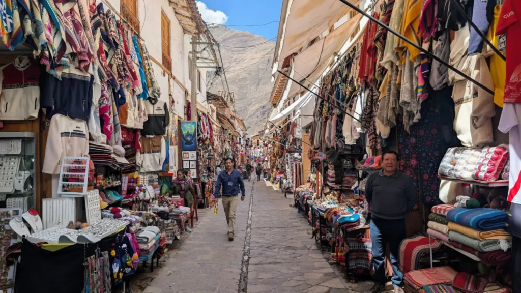
Pisac is the first major stop for most visitors. Also, it has a traditional market and impressive Inca ruins above the town, as Inca Rail notes.
The market runs on Tuesday, Thursday, and Sunday, and Sunday is the busiest day. Our Pisac guide covers opening hours and timing. Maras sits on the plateau above the valley. Read Cusco to Maras for the ride.
Calca on the Sacred Valley Map
Calca lies near the center of the valley. It has a local market and sits close to natural hot springs, according to Inca Rail.
Most visitors pass through Calca on the way to Urubamba. Even so, it is a calm stop for a short break.
Urubamba on the Sacred Valley Map
Urubamba is often called the heart of the valley. In addition, many hotels and restaurants cluster here, so it works well as a base.
It also lies close to Maras and Moray. Learn more in our Urubamba guide.
Ollantaytambo on the Sacred Valley Map

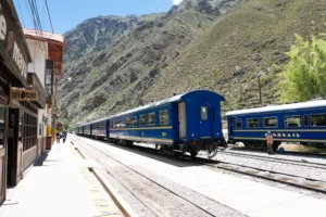
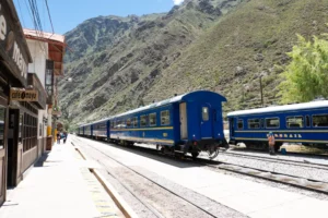
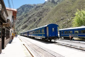
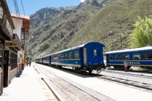
Ollantaytambo is the western gateway of the valley. For example, it has a major Inca fortress and the train station for Machu Picchu.
Because trains run on strict schedules, most travelers plan their valley day around this town. Our Ollantaytambo guide explains what to see. Calca sits between Pisac and Urubamba on this map. See Cusco to Calca for the ride.
Plateau Stops on the Sacred Valley Map
First, three famous stops sit above the valley floor. They are Chinchero, Maras, and Moray.
Next, Chinchero has a colonial church and a strong textile tradition, per Inca Rail. Maras is known for its salt pans, and Moray for its circular terraces.
Our Maras and Moray guide shows how to visit both. Meanwhile, our Cusco to Chinchero guide covers the first stop. The nearest valley town to the airport is covered in Cusco airport to Pisac.
Sacred Valley Distances and Drive Times From Cusco
However, distances matter more than names on a map. The figures below come from our route guides and the sources linked above.
Distances for the Nearest Stops
Chinchero lies about 28 kilometers northwest of Cusco, and the drive takes roughly 40 minutes. Pisac lies about 30 kilometers away, and the drive takes around 50 minutes.
Inca Rail places Maras about 40 kilometers from Cusco and Moray about 50 kilometers away. Therefore, both fit into a half-day loop.
Distances for the Western Towns
Urubamba is about 50 kilometers away by the Chinchero road and 78 kilometers by the Pisac road. The drive takes roughly one hour and 15 minutes to one and a half hours.
Ollantaytambo lies about 72 kilometers northwest of Cusco. The direct drive takes about one hour and 45 minutes.
Distances Inside the Valley
Pisac and Ollantaytambo lie about 59 kilometers apart, according to Wikivoyage. A taxi takes about one hour and 17 minutes.
Urubamba and Ollantaytambo are about 30 minutes apart by car. For the full hop, read our guide to Pisac to Ollantaytambo. Moray sits on the plateau above the valley road, and our guide to Moray Cusco covers the drive and the ticket. If you are thinking about driving the valley yourself, read our guide to car rental Cusco.
A Simple Rule for Reading the Distances
Add 15 minutes to every leg for traffic and photo stops. Also, valley roads slow down behind trucks and inside market towns.
Therefore, a day with three stops needs more time than the drive figures suggest.
How to Plan a Route on the Sacred Valley Map

First, a good route follows one road in and a different road out. As a result, you see more without doubling back.
The Half-Day Plateau Loop
This loop covers Chinchero, Maras, and Moray in about four to five hours. Both Maras and Moray sit above 3,300 meters, so sun protection and water matter even on cool days. Therefore, it suits travelers with a short window.
Our private half-day route costs $85 for a sedan, $96 for a minivan, and $120 for an Executive Sprinter. Prices are per vehicle.
The Full-Day Valley Route
A full day links Pisac, Urubamba, and Ollantaytambo. Then you enter by the Pisac road and leave by the Chinchero road.
Our full-day route costs $87 for a sedan, $122 for a minivan, and $137 for a Sprinter. The driver stays with you all day.
The Train-Day Route
However, if you ride to Machu Picchu, you only need Ollantaytambo. Our Cusco to Ollantaytambo transfer costs $44, $58, or $73 per vehicle.
For timing tips, read our Ollantaytambo train station guide. Then add your pickup buffer. For one of the shortest rides on the map, read Ollantaytambo to Urubamba.
A Sample Day on the Sacred Valley Map
This sample day is an illustration, and we adjust it to your plan. It follows the full-day route from Cusco.
Morning: Cusco to Pisac
First, your driver meets you at your hotel at 8:00 a.m. Next, the Pisac road takes about 50 minutes, so you arrive around 9:00 a.m.
Then you explore the market and the ruins at your own pace. Meanwhile, the driver waits and keeps your bags safe.
Afternoon: Urubamba and Ollantaytambo
After lunch in Urubamba, the road continues to Ollantaytambo, about 30 minutes away. Then you can walk the old town and see the fortress.
Finally, the driver returns by the Chinchero road as the light turns golden. Because you ride in one vehicle, you never change vans.
Best Season to Use the Sacred Valley Map
The dry season runs from about May to October, and it brings clear views. In contrast, the wet season runs from November to March and turns the hills bright green.
However, rain can slow the roads and hide the peaks. Therefore, add extra time on wet-season days.
Our best time to visit Cusco guide shows each month in detail.
Why a Private Driver Works Better Than a Map
First, the valley has many stops but no single bus line. Shared vans run on each road, and they usually change in Urubamba.
Therefore, a self-guided route can eat half your day in waiting. In contrast, a private driver follows your plan and your pace.
One Driver for the Whole Route
First, your driver collects you at your hotel and stays with the vehicle at every stop. Because of this, you leave your bags in the car.
Every ride includes an English-speaking driver and 24/7 English support. Also, rates cover tolls and mandatory SOAT insurance.
Safety and Comfort on Mountain Roads
Valley roads include curves, climbs, and busy market towns. Therefore, an experienced driver makes the day calmer.
Our drivers are licensed and vetted, and they know every road on this map. In addition, SOAT transit insurance covers each ride.
Flexible Stops and Photo Breaks
Also, valley roads pass many viewpoints. With a private vehicle, you can pause for photos without watching the clock.
You can also change the order of stops on the day. For example, you can start at Moray and finish in Pisac.
Frequently Asked Questions
Where is the Sacred Valley on a map?
The valley lies northwest of Cusco and stretches from Pisac to Ollantaytambo. Wikipedia extends it roughly 100 kilometers to Machu Picchu.
Which towns are in the Sacred Valley?
The main towns are Pisac, Calca, Urubamba, and Ollantaytambo. Chinchero, Maras, and Moray sit on the plateau above them.
How far is the Sacred Valley from Cusco?
Pisac is about 30 kilometers away, and Ollantaytambo is about 72 kilometers away. Drive times run from 50 minutes to one hour and 45 minutes.
What is the best way to see the whole Sacred Valley?
A private driver on a full-day route is the easiest option. You enter by one road, leave by another, and skip the van changes.
Can I see the Sacred Valley in one day?
Yes, a full day covers Pisac, Urubamba, and Ollantaytambo. Therefore, start early so you have time at each stop.
How much is a private Sacred Valley day trip?
Our full-day route costs $87 for a sedan, $122 for a minivan, and $137 for a Sprinter. Prices are per vehicle.
How far apart are Pisac and Ollantaytambo?
They lie about 59 kilometers apart, and a taxi takes about one hour and 17 minutes, according to Wikivoyage.
Is the Sacred Valley lower than Cusco?
Yes. Ollantaytambo sits at 2,792 meters, while Cusco stands near 3,400 meters.
Do you provide tour guides or tickets?
No. We provide private transport only, so you arrange tickets and guides separately.
Plan Your Sacred Valley Route With a Private Driver
Now that you know the map, choose your vehicle and lock in a fixed price. Then your driver handles every road for you.
Share your dates, hotel, and favorite stops, and confirm your booking in minutes.